One of the first challenges was to establish a base line of what we had in our community in terms of assets. This asset register was key to us understanding what provision there was locally and what was lacking too. To make sure this was truly in the spirit of the LAH, we worked with a volunteer to undertake the research and mapping.
This resulted in an on-line map (with 9 individual layers) and a database that covered everything from local groups to facilities to businesses located in our area.
Outcomes
The audit identified:
- 14 local groups
- 6 local defibrillators
- 10 community facilities
- 15 public green spaces/environmental assets
- 32 places of historic interest
- 6 public footpaths
- 6 public buildings
- 14 information boards/public seating areas
- 6 annual events
- 81 local businesses
It also identified gaps such as the lack of a mother and babies group and lack of any art provision.
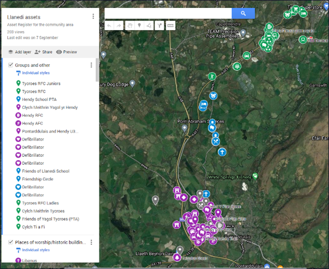
Evidence: This is a snapshot of the map with the groups key on the left with link to the live map.
NB it is hoped that the asset register is something that can be updated annually as things change.
I moved back to the area after 12 years and this was an opportunity to find out about the local facilities/businesses as well as to do some historical research. I feel more knowledgeable now about where I live and it feels great that I’ve helped out.
Laura Jones, Project volunteer